Safe Harbor
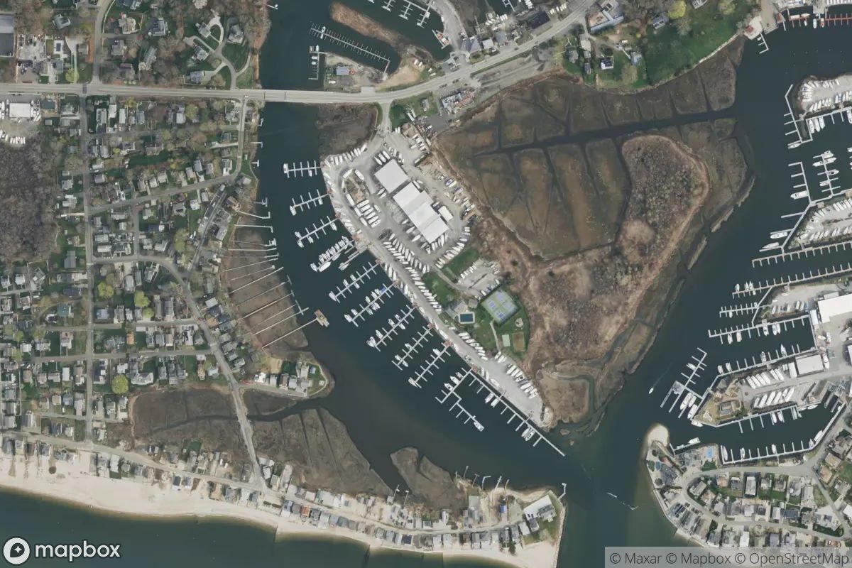
Safe Harbor is a full-service marina located on the Connecticut coast in the central part of the state, positioned along the northwestern shore near the coordinates 41.2728N 72.4748W. The facility offers standard marina amenities with slip availability for vessels of various sizes, alongside typical services like fuel, water, and docking accommodations for both transient and seasonal boaters. If you're looking for current details about pricing, seasonal hours, or specific slip assignments, contact the marina directly or stop by in person to see what fits your needs.
Coordinates
41.272777, -72.474750
Nearby Marinas
Own Safe Harbor?
Claim this listing for free. Update your information, add photos, and get a Verified badge.
Claim This Listing — Free