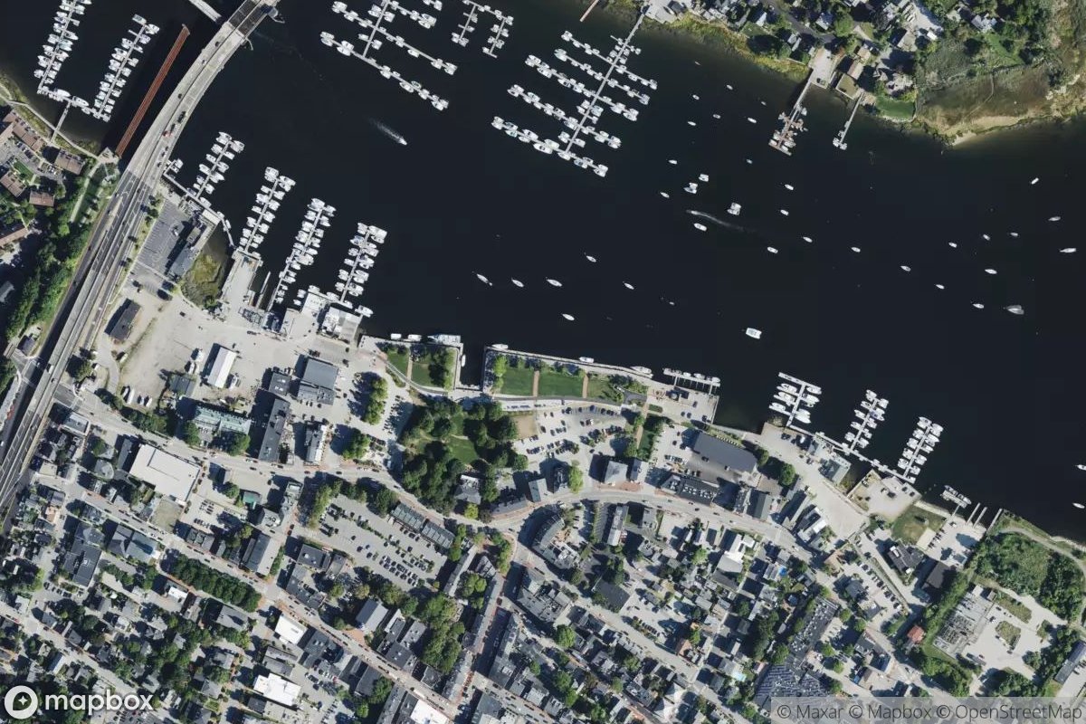
Newburyport Public Dock
Newburyport Public Dock is a working waterfront facility located along the Merrimack River in northeastern Massachusetts, serving as a hub for the historic maritime community. The dock provides public access for transient vessels and local boaters, with basic amenities typical of a municipal facility in this established port town. If you're planning a visit, stop by in person to assess current conditions and available services, or contact the harbormaster's office for specific slip availability and rates.
Coordinates
42.812926, -70.869380
Nearby Marinas
Own Newburyport Public Dock?
Claim this listing for free. Update your information, add photos, and get a Verified badge.
Claim This Listing — Free